step 01: Capture
Turn physical environments into reliable data

Every high-performing Digital Twin starts with a single, critical step: capturing accurate data from the physical world.

How the Capture Process Works

Creating a reliable digital twin starts with accurate 3D point cloud data. Using high-precision LiDAR scanning, photo documentation, and technical mapping, we capture your facility’s real geometry — walls, ceilings, piping, and equipment — even in complex or sensitive spaces.

Key systems like HVAC, electrical, and plumbing are inventoried on-site without disrupting operations. All scan data is georeferenced and integrated with BIM, CAD, or GIS, providing a structured digital base for design, coordination, and long-term facility management.
Point cloud scan of an industrial building captured at night, showing structural details and surroundings.

Benefits of laser scanning in digital twin projects

The smarter your data capture, the stronger your digital twin. Here's how this phase protects your time, budget, and assets.
Nighttime point cloud visualization of a long warehouse building, rendered in transparent white over a dark base.

Benefits of laser scanning in digital twin projects

The smarter your data capture, the stronger your digital twin. Here's how this phase protects your time, budget, and assets.
Reduce design risk
Accurate field data reduces design errors, delays, and costly change orders.
Speed up 3D modeling
A precise point cloud streamlines 3D modeling — no need for manual measurements.
Centralize asset data
Captured data becomes the foundation for centralized, long-term asset documentation and digital recordkeeping
Support lifecycle planning
From construction and renovation to operations and decommissioning — data from Capture serves your facility for decades.

What’s included in the scanning phase?

We transform physical environments into digital data. Here's how we capture everything needed to create a reliable, intelligent digital twin.

3D Laser Scanning (LiDAR)

High-precision laser scanning generates a 3D point cloud — the geometric foundation of your digital twin.

Photographic & Visual Documentation

Photos validate conditions on-site, ensuring point clouds and models match real-world geometry.

Technical Infrastructure Inventory

We capture HVAC, electrical, and plumbing layouts with equipment metadata to support BIM and maintenance.

Capturing Inaccessible & Critical Spaces

We scan above ceilings, inside shafts, and active zones — no shutdowns required.

Georeferencing & Survey Integration

All data is mapped to coordinate systems for use in GIS, BIM, and facility platforms.

On-Site Conditions & Environmental Context

We assess airflow, lighting, and space constraints that impact facility use and planning.

Laser scanning in facility management

From heritage buildings to high-tech facilities — laser scanning delivers precision, speed, and clarity across a wide range of environments.

3D laser scan in blue tones of a classical architectural structure with columns and decorative sculptures.

Heritage Sites and Historical Buildings

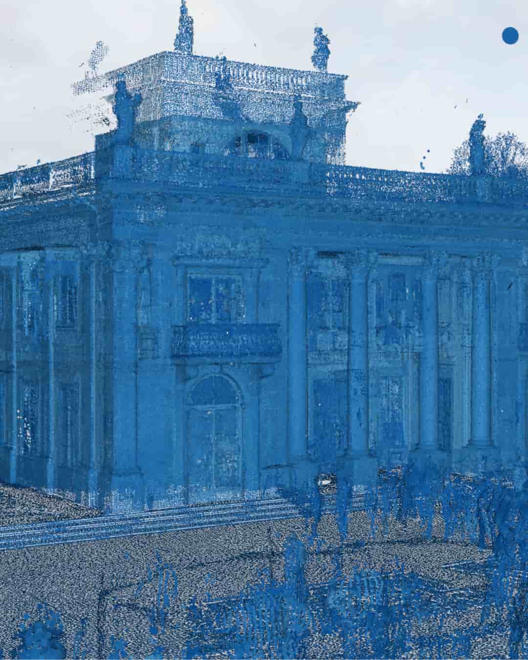
Capture architectural details for conservation, restoration, or digital archiving — without physical interference.

Point cloud scan of an industrial facility with silos, tanks, and multiple buildings in thermal color overlay.

Industrial and Technical Facilities

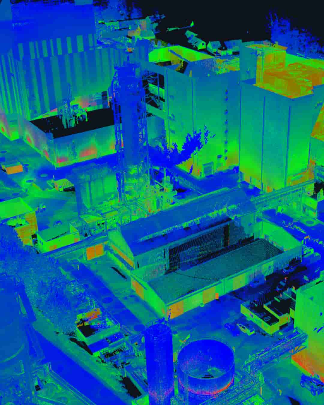
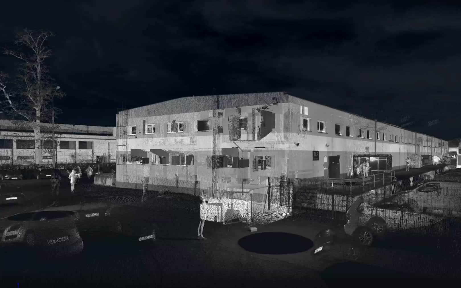
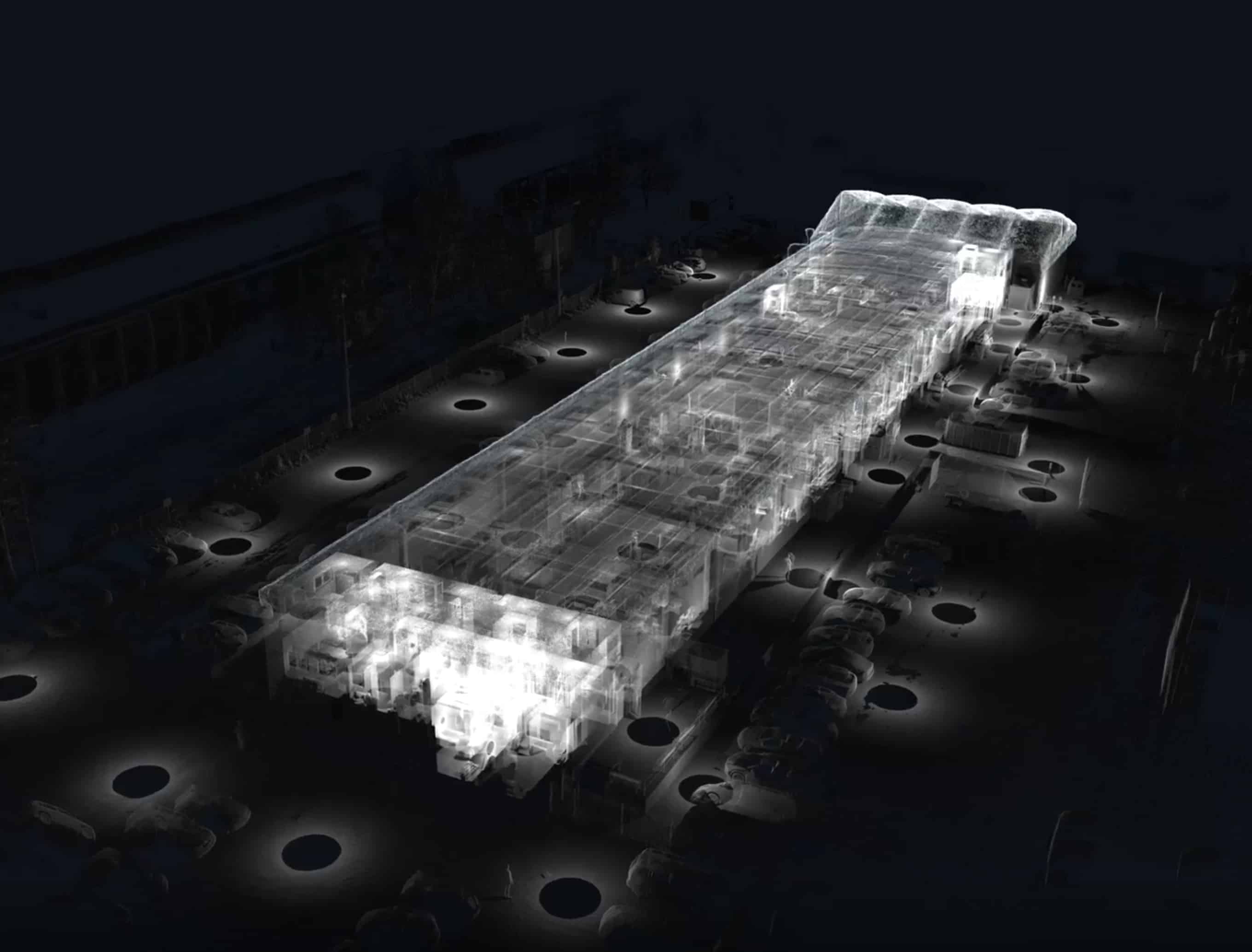
Scan factories, plants, or warehouses to map pipes, equipment, and structures for renovation, safety, or system upgrades.
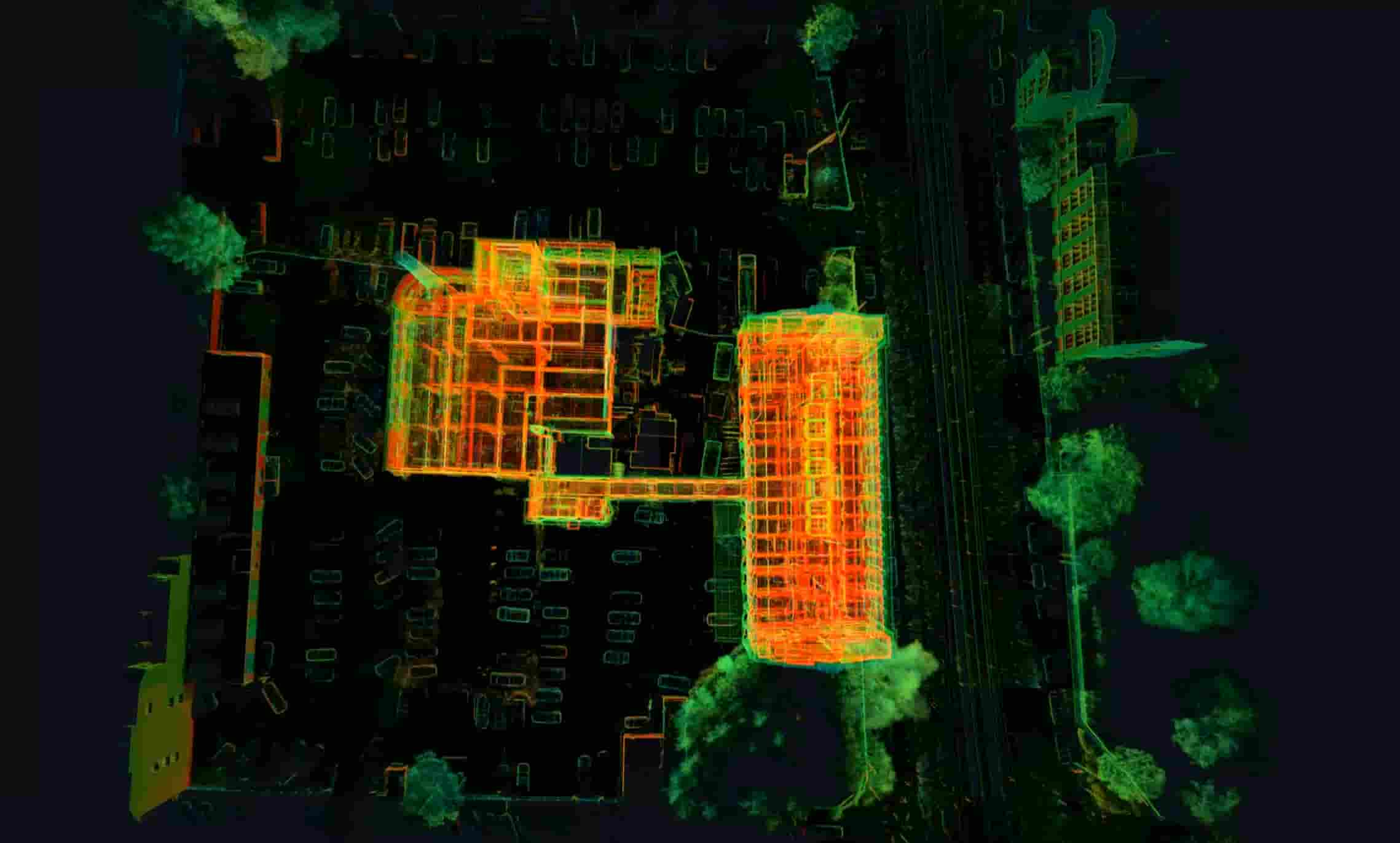
Detailed LiDAR scan of a large interior space with varied equipment, furniture, and architectural elements.

Commercial Buildings and Office Complexes

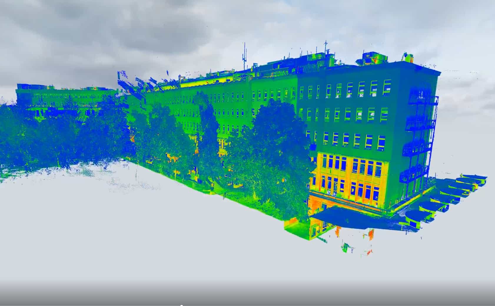
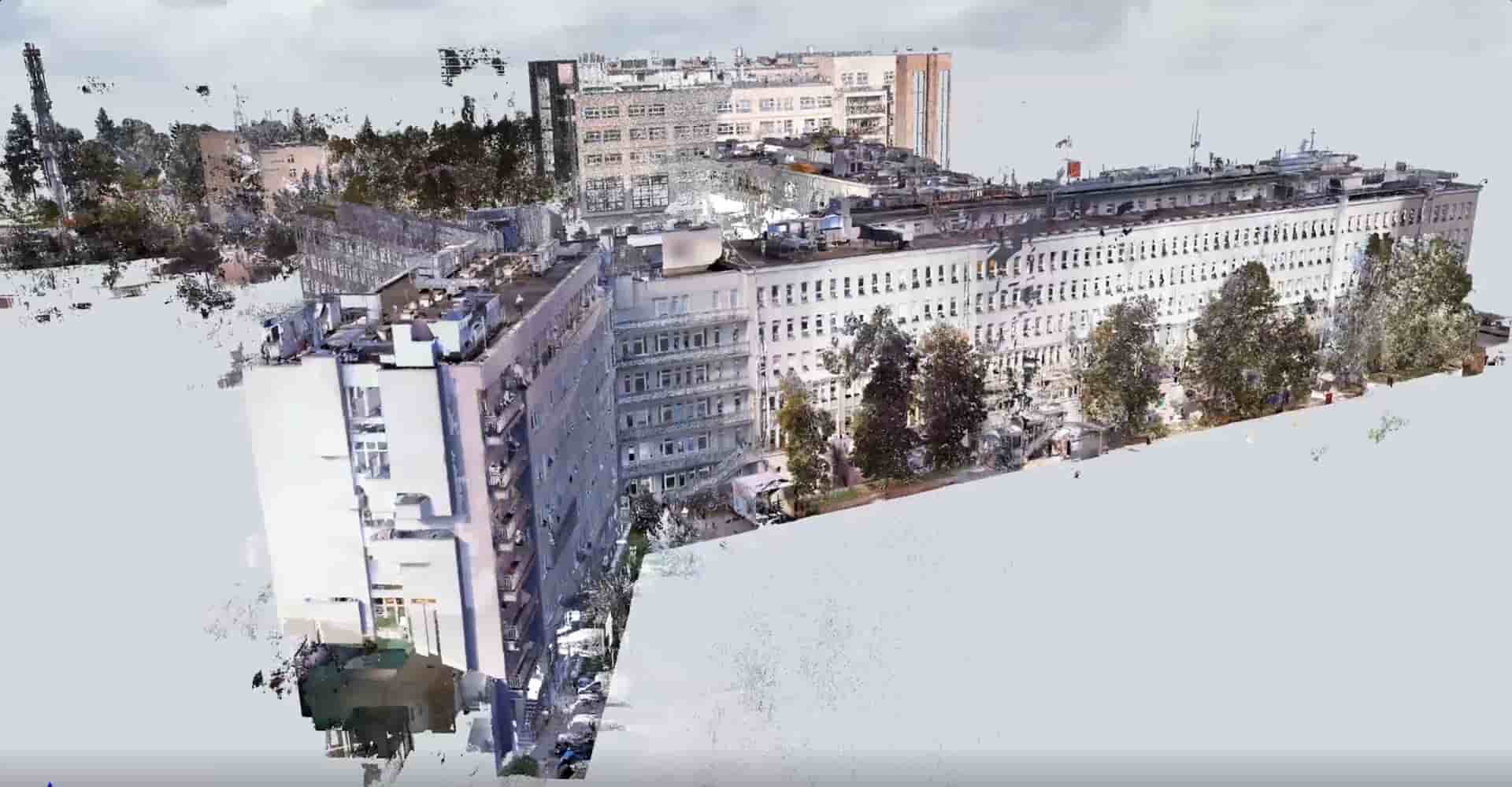
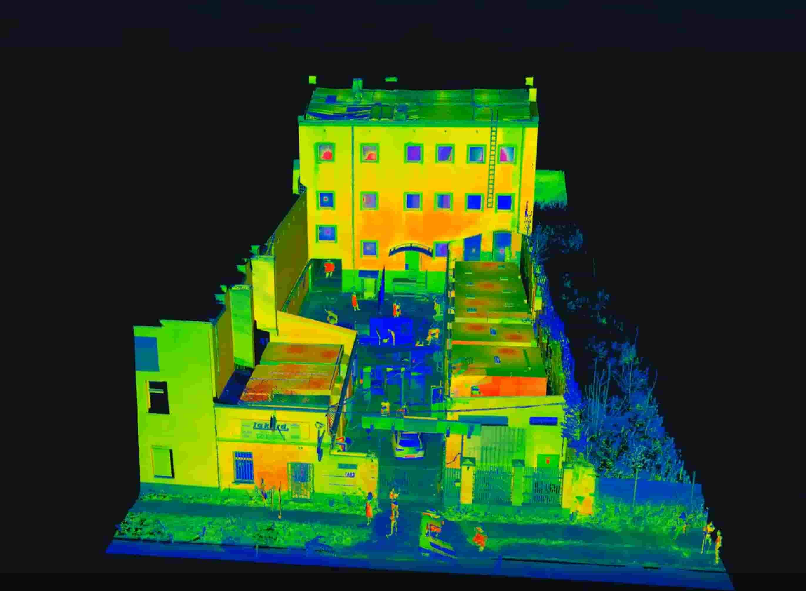
Digitally document office spaces or mixed-use buildings to optimize facility management, remodeling, or space planning.

Delivered by Professionals

Our capture specialists are engineers, surveyors, and geospatial experts who work in live environments, difficult access zones, and tight deadlines. We tailor every scanning project to your facility’s specific architecture, risk profile, and operational needs.

Turn Data into a Digital Model

Now that your facility has been captured in detail, it's time to transform that point cloud into an intelligent 3D model — the foundation of your digital twin. This next step unlocks structure, logic, and usability. You'll convert raw scan data into a BIM-ready environment, organize your assets spatially, and prepare the model for connection with real-time systems and field operations. Start building a smart, accurate model that supports your design, coordination, and facility management goals.

Choose the next step you’d like to explore.

Select the part of the process you want to learn more about — whether it’s scanning, modeling, data integration, or daily operations.

Have More Questions?

Want to better understand how laser scanning works or how Capture fits into your digital twin project? Reach out to learn more about our process, equipment, or how we tailor scanning to your facility’s needs.